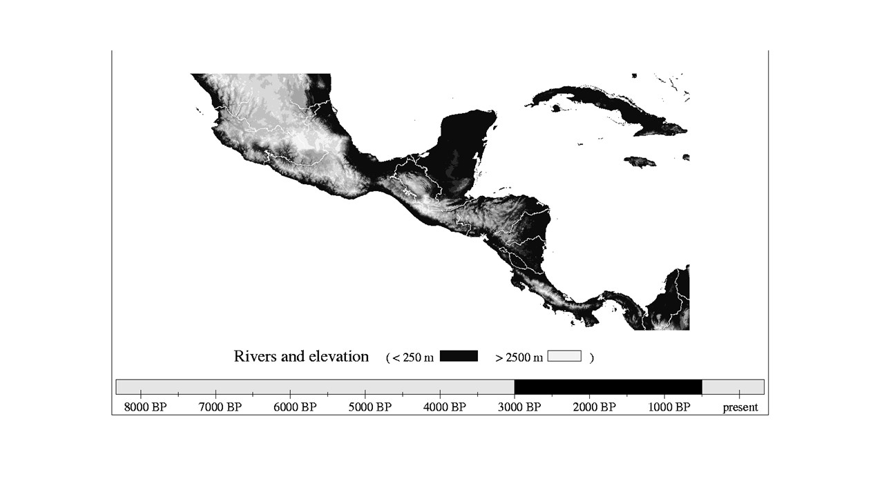
The story of Easter Island is, rightly or wrongly, one of the archetypical examples of how a human population on a finite island with a fragile environment can overexploit its environment and as a consequence collapse. There are contemporary events which suggest a collapse narrative, as in the case of another island in the Pacific, Nauru. Sometimes, it is possible to find strong empirical evidence of past events. An example is what happened between one and four millennia ago in a Mayan site in lowland Guatemala, as uncovered and reconstructed in the pioneering Central Petén Historical Ecology Project. In this region, a swidden – or milpa – agricultural system with a three-to five-year fallow period can support population densities in the order of 25 people/km2. How did the Maya manage to sustain in some places and times up to 250 people/km2?
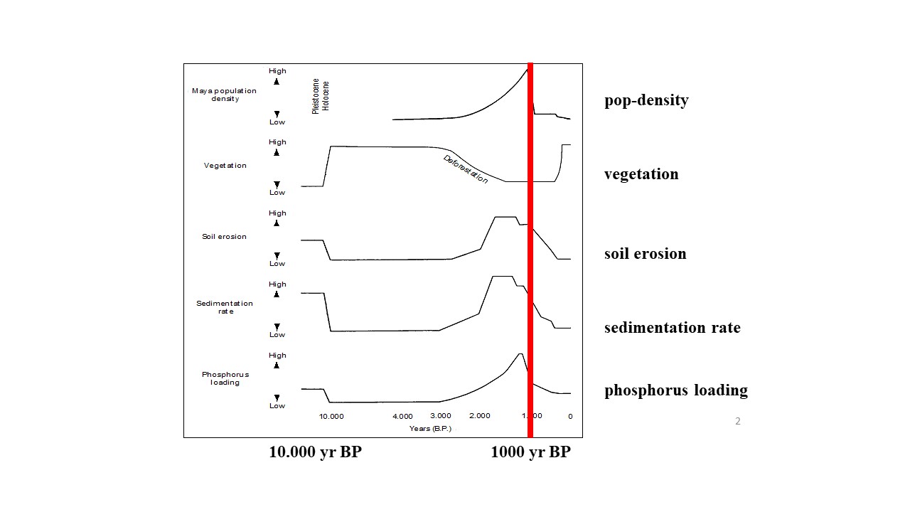
Detailed investigations allowed a reconstruction of time-series on population, vegetaton, soil erosion, sedimentation rate and phosphorous loading – as the graph below show. Examining sediment core from lake bottoms, a significant increase in phosphorus and silica deposition during the Maya occupation was found. Accelerated phosphorus deposition points at more phosphorus in the soil due to human activity (waste, food, disintegration of bodies and stoneworks) and to more soil erosion. Similarly, silica deposition increased severalfold during the period, which archaeologists think had the highest population – another indicator of increased erosion rates.
Apparently, the Maya appreciated the tropical forest ecosystem well enough to thrive for centuries by managing land clearance, control water flows and transport food to cope with localised shortages. However, the lake sediment data indicate that ‘the high forest that prevailed in much of the region was largely removed by the farming and settlement building activities of the Mayas as early as 3000 to 4000 years ago. This resulted in a shift toward more open vegetation, with the maximum deforestation between 1000 and 2000 years ago. The drain on the land increased to the point where the system was no longer sustainable. By the end of the 10th century CE, most of the large settlements of the Mayan uplands and southern lowlands had been abandoned or at least seriously depopulated. Coincident was a relatively dry period, which put crop productivity under additional pressure in an ecosystem already strained by human activities. There are an increasing number of environmental history reconstructions on the local/regional scale, which give empirical and model-based insights on how human activities interfered with long-term and short-term environmental change (e.g. Lutz et al. 2000 on Yucatán). The reconstructions may help to understand better the present situation. Narratives like these can be constructed with help of ever more and more sophisticated empirical data, as for instance the website http://pastglobalchanges.org/ and the Environmental History page in Wikipedia.
Literature:
Redman, C. L. Human Impact on Ancient Environments. Tucson: University of Arizona, 1999
Dearing, J. Climate-human-environment interactions: Resolving our past, Climate of the Past 2 (2006) 187–203
Lutz, W., L. Prieto and W. Sanderson (2000). Population, Development, and Environment on the Yucatán Peninsula: From Ancient Maya to 2030. IIASA Report RR-00-14
Leave A Comment